New project aims to create historic map of Alnwick and Alnmouth
and live on Freeview channel 276
Alnwick Civic Society is working alongside The Historic Towns Trust on its production.
Similar in size and layout to a traditional Ordnance Survey (OS) map, it is based on a historic OS map with overlays showing the major historic features, both extant and lost.
Advertisement
Hide AdAdvertisement
Hide AdOn the reverse of the map is a gazetteer of the main historic features, with a short description of each.

To date, most of the Trust’s historic map projects have been in southern England and involved larger towns and cities.
They are now keen to work with smaller towns and, in particular, ones in the north of England.
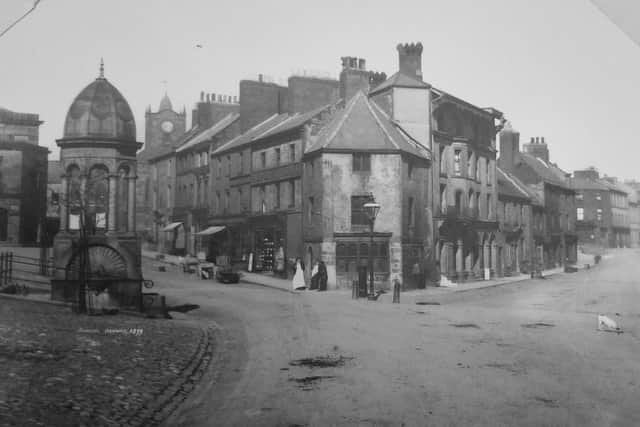
Alnwick has been identified as an ideal candidate for such a ‘small town’ pilot project because it has a long, well documented history, and has a number of interesting ‘layers’ of lost and surviving historical elements.
Advertisement
Hide AdAdvertisement
Hide AdThe Trust approached the Alnwick Civic Society with the idea and the two groups are now working together to create the Alnwick map, which will also include Alnmouth.
Project coordinator Ian Hall explained: “We have started to bring together a group of interested people, drawn from a number of local heritage-related groups, including the Bailiffgate Museum, Alnwick and District Local History Society, the Alnwick Branch of the Northumberland and Durham Family History Society and the Aln Valley Railway. Northumberland Estates Archive is also involved. We want to get more groups involved in the project if possible.
“In January we will start work in earnest, gathering the information that will be used in making the map, as well as fund-raising for the project. The plan is to have the map completed by early 2022.
“We think that the project will have several local benefits. In creating the map we will be bringing together groups and individuals who are interested in the heritage of the town, and will be seeking opportunities to promote and explain local heritage to residents and, in particular, schoolchildren.
Advertisement
Hide AdAdvertisement
Hide Ad“The completed map should also attract visitors who are interested in the history of the town and its environs, while the base maps and associated data will be available at no cost to not-for-profit groups, for example, for education and displays.”
To find out more, email Ian Hall at [email protected]
